$45.00
Share this book
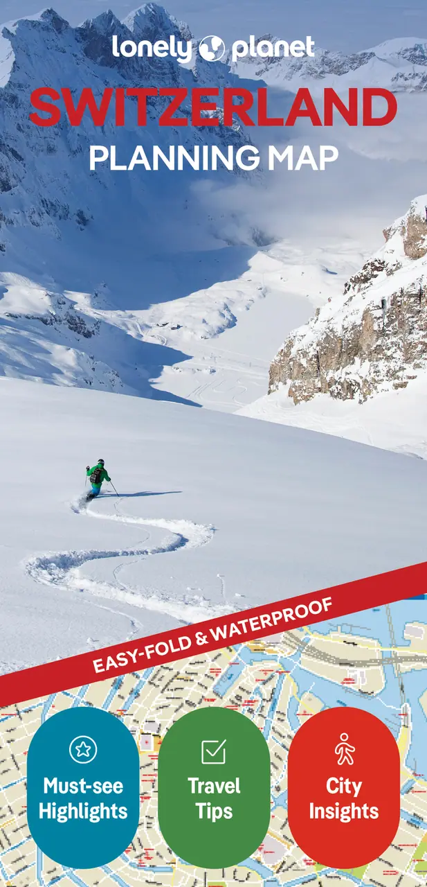
Lonely Planet Switzerland Planning Map
Chart your dream trip with Lonely Planet's Switzerland Planning Map, the ultimate travel tool with a full colour, easy-fold waterproof map and handy slipcase. Discover must-see highlights from exploring the Lavaux wine region to hiking the Aletsch Glacier; find top travel information and tips; and get to where you want to go – your way.
Buy now $14.99Chart your dream trip to Switzerland with Lonely Planet's Switzerland Planning Map, the ultimate travel tool to help you navigate your way around this amazing country.
Explore the Lavaux wine region, hike the Aletsch Glacier trail, leap into Bern's turquoise ribbon of a river, and decide where to go and what to see next on a route that works for you.
Inside Lonely Planet's Switzerland Planning Map:
Get ready for your next adventure with Lonely Planet's Switzerland Planning Map, the ultimate navigation tool to inspire your upcoming trip and take you to the heart of Switzerland – your way.
Link copied