
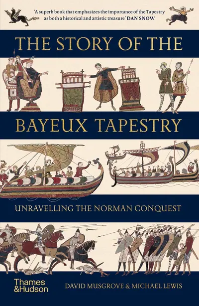
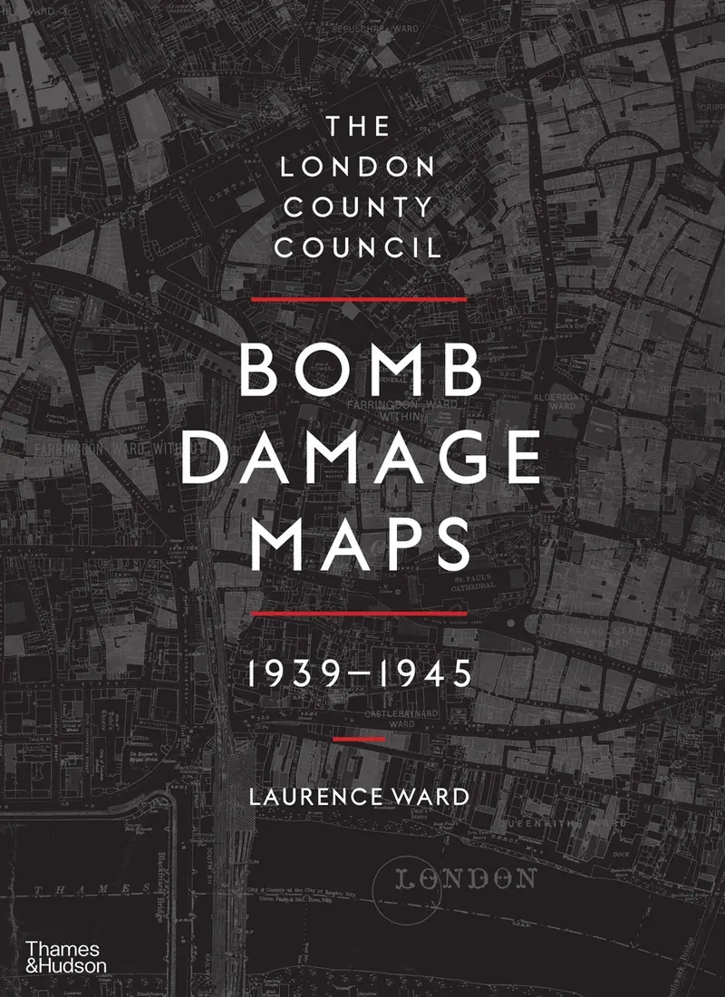
The London County Council Bomb Damage Maps 1939-1945
cover
Wish list
Share
Share this book
Readership
The London County Council Bomb Damage Maps 1939-1945
Between 1939 and 1945, London and its environs experienced destruction on a huge scale, with air raids and rocket attacks reducing buildings and entire streets to rubble. The London County Council Bomb Damage Maps speak of the human experience of war - of loss and camaraderie, of tragedy and…
Buy now $110.00
readership.com.au/book/the-london-county-council-bomb-damage-maps-1939-1945
The London County Council Bomb Damage Maps 1939-1945
About this book
Between 1939 and 1945, London and its environs experienced destruction on a huge scale, with air raids and rocket attacks reducing buildings and entire streets to rubble. The London County Council Bomb Damage Maps speak of the human experience of war - of loss and camaraderie, of tragedy and heroism - conjuring up the days of blackout and the 'Spirit of the Blitz'. They tell a story, moreover, that was echoed in towns and cities across Britain and throughout the world.
The maps, meticulously hand-coloured to document the level of damage being wrought, represent a key record of the destruction, the impact of which can still be seen in the capital's urban and social landscapes. Featuring new, high-quality images of each of the 110 maps that make up the set, complete with archival tables of often grim statistics, this book marks the first time these remarkable documents - part historical artifacts, part social history - have been published for a general audience.
The book also includes a series of extraordinary photographs of the damage done to the City of London in particular, taken with a sympathetic yet unflinching eye by police constables Arthur Cross and Fred Tibbs.
Product details
ISBN
9780500518250
Published
1 November 2015
Format
Hardcover
Pages
288
Dimensions
373 × 273 × 35 mm
Weight
2.932 kg
Publisher
Thames and Hudson Ltd
Imprint
Thames and Hudson Ltd
Language
eng
Audience
General Adult
Best sellers in British History
You might also like
$17.99
Link copied