$45.00
Share this book
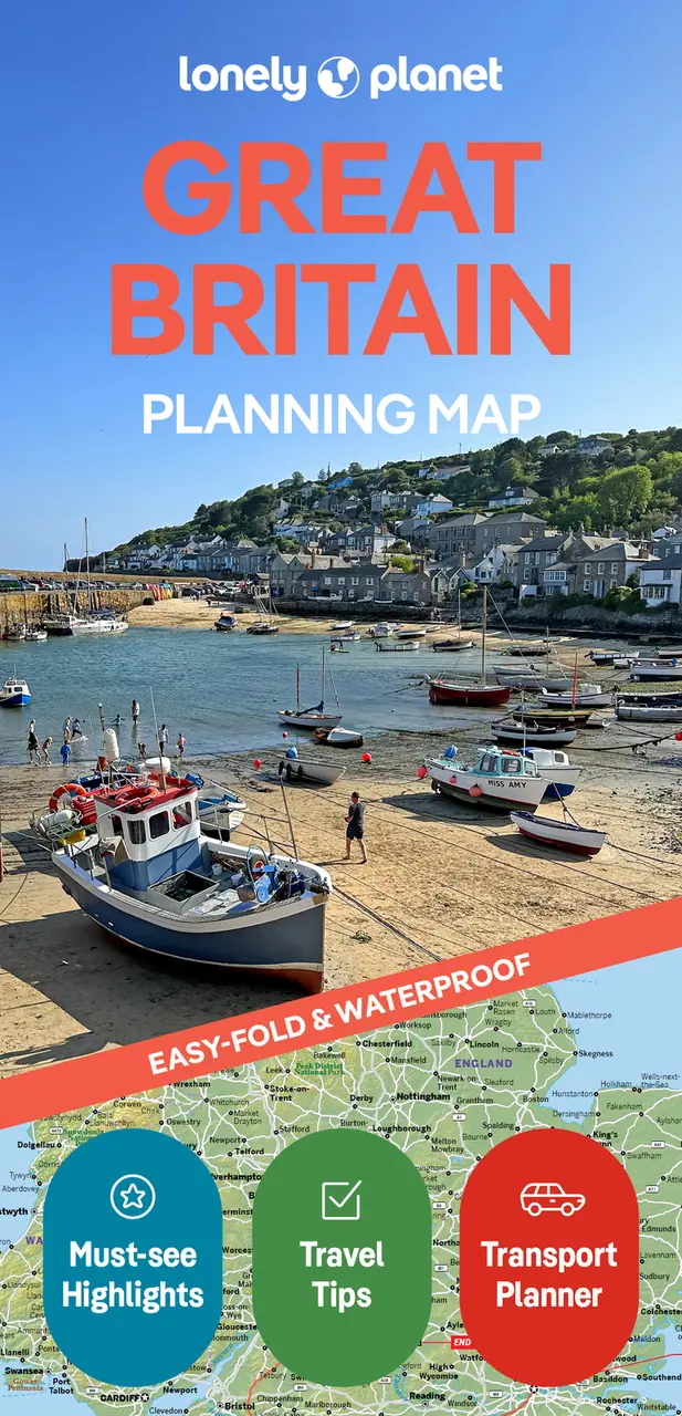
Lonely Planet Great Britain Planning Map
Chart your dream trip with Lonely Planet's Great Britain Planning Map, the ultimate travel tool with a full colour, easy-fold waterproof map and handy slipcase. Discover must-see highlights from Snowdonia's rugged mountain trails to Canterbury's medieval alleyways; find top travel information and tips; and get to where you want to go - your way.
Buy now $14.99Chart your dream trip to Great Britain with Lonely Planet's Great Britain Planning Map, the ultimate travel tool to help you navigate your way around this amazing part of the world.
Hike rugged mountain trails in Eryri (Snowdonia) National Park, meander narrow medieval alleyways in Canterbury, sip a wee dram in one of Dufftown's whisky distilleries in Scotland, and decide where to go and what to see next on a route that works for you.
Inside Lonely Planet's Great Britain Planning Map:
Get ready for your next adventure with Lonely Planet's Great Britain Planning Map, the ultimate navigation tool to inspire your upcoming trip and take you to the heart of Great Britain - your way.
Link copied