$45.00
Share this book
Lonely Planet Vienna City Map
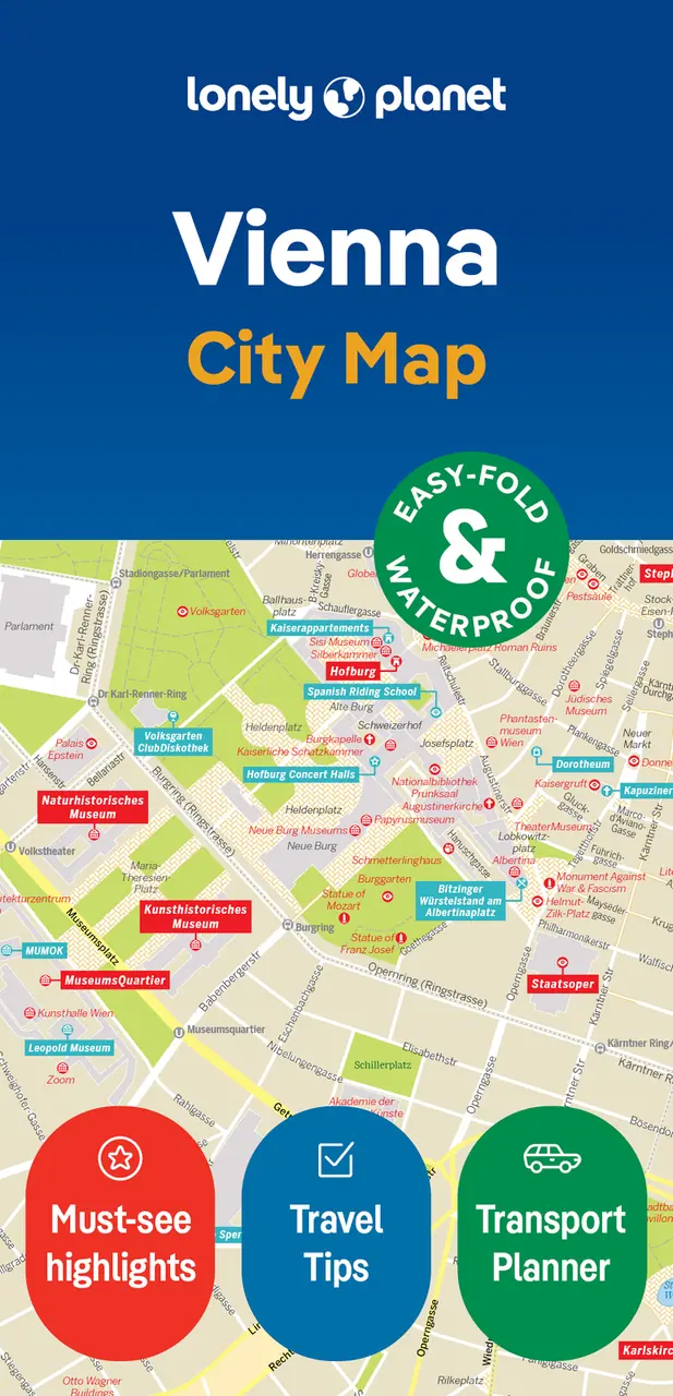
Experience your dream trip with Lonely Planet's Vienna City Map, the ultimate travel tool with a full colour, easy-fold waterproof map and handy slipcase. Discover must-see highlights from riding the iconic Riesenrad to watching an opera performance at Staatsoper; find top travel information and tips; and get to where you want to go–your way.
Buy now $14.99Experience your dream trip with Lonely Planet's Vienna City Map, the ultimate travel tool to help you plan and navigate your way around amazing local sights, landmarks and attractions.
Take a ride on the iconic Riesenrad, watch an unforgettable opera performance at Staatsoper, step back into the past at the Naturhistorisches Museum, and decide where you want to go next and what you want to see in each of the city's exciting neighbourhoods.
Inside Lonely Planet's Vienna City Map:
Get ready for your next adventure with Lonely Planet's Vienna City Map, the ultimate navigation tool to help you explore Vienna's well-known attractions and best-kept secrets.
Link copied